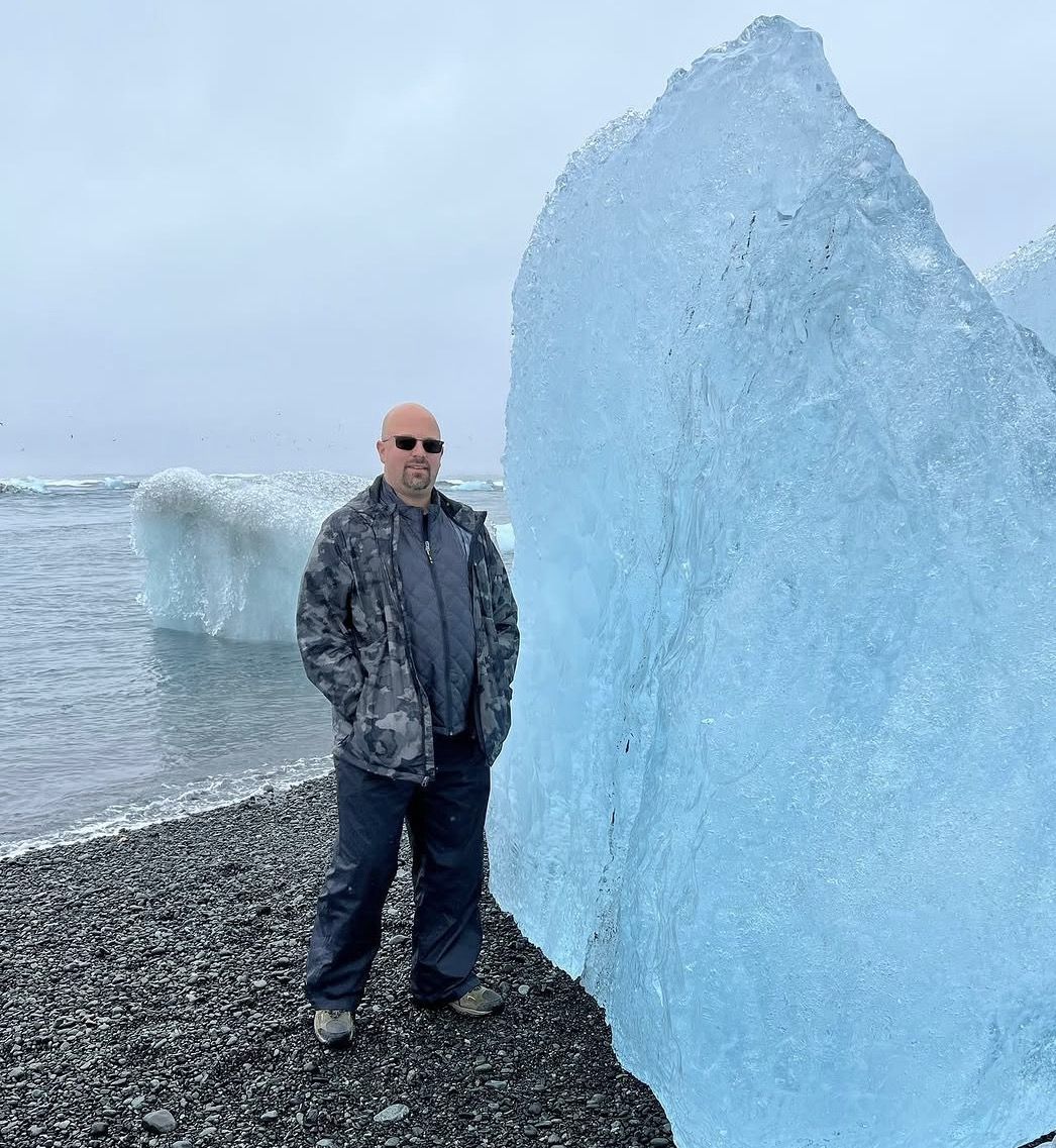
In shortDiamond Beach is the black-sand beach across Route 1 from Jökulsárlón, where ice that has drifted out of the lagoon washes back ashore. Its official name is Fellsfjara. The eastern part, Eystri-Fellsfjara, has its own car park and the marked route B2: 1 km, about 40 minutes, easy. Walking there is free; parking is charged by the national park.
1 kmmarked route B2
40 minto walk it
freeno entry fee
1,110 ISKparking, car up to 5 seats
Where to park and how to get onto the beach
The beach lies on both sides of the river that drains the lagoon into the sea. From the main lagoon car park you can cross to it through the pedestrian passage under the Ring Road bridge, which has information signs about the area. On the east side there is a separate car park at Eystri-Fellsfjara, with a photo exhibition, where route B2 starts.
The same parking rules apply as at the lagoon: a camera reads your number plate, and the fee is valid until midnight.
Parking fees and all four marked routes →
Day trip from Reykjavík with Diamond Beach
Half an hour on Diamond Beach after a 30-minute boat ride on the lagoon.
14 hours · from $292 · ★ 4.7 (450 reviews)
Guided Glacier Lagoon and Diamond Beach day trip
The lowest price from Reykjavík; boat ride not included.
14.5 hours · from $185 · ★ 4.7 (678 reviews)
How much ice to expect
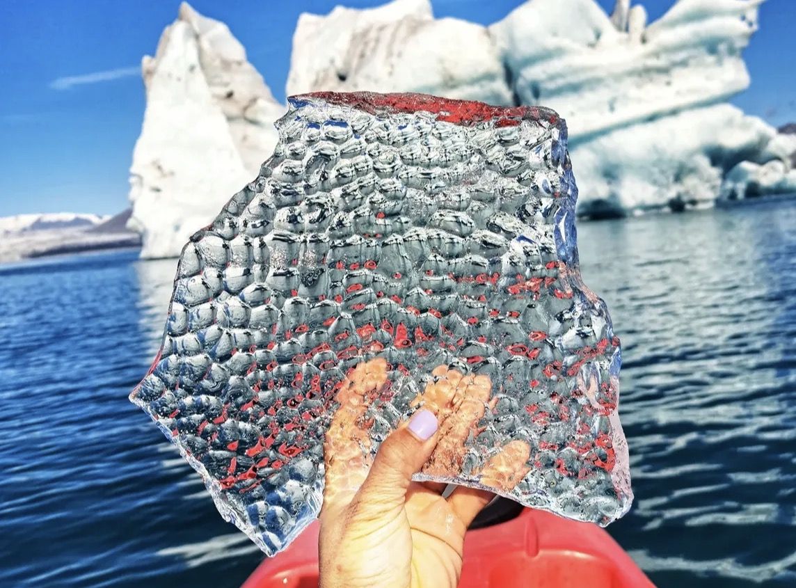
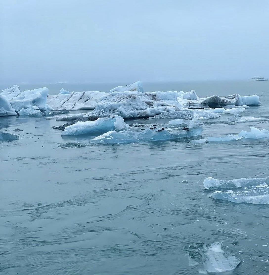
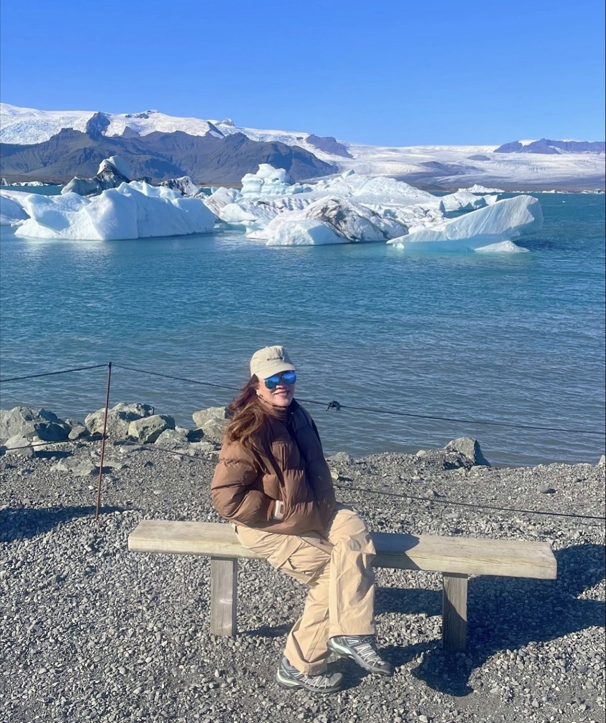
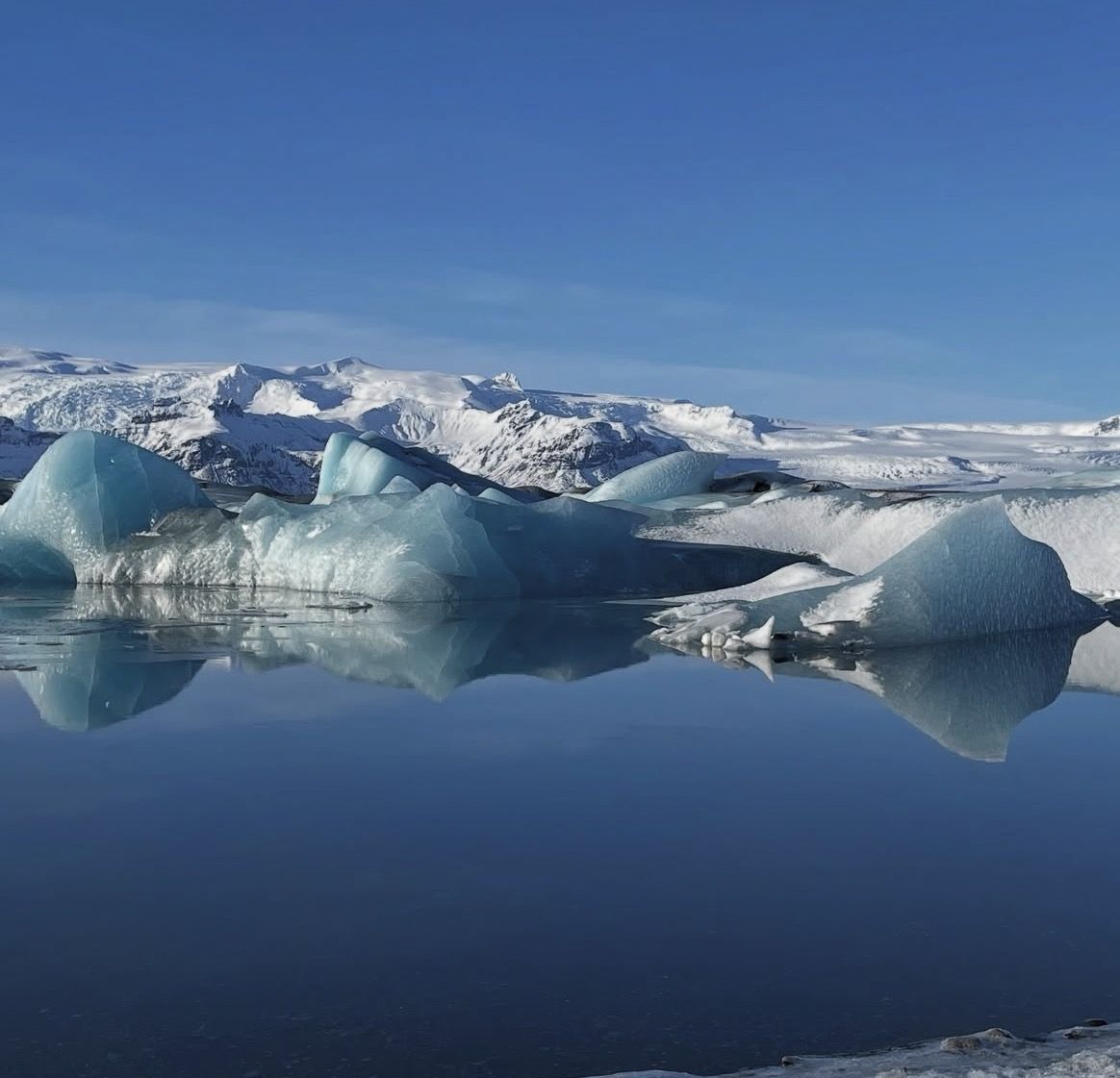
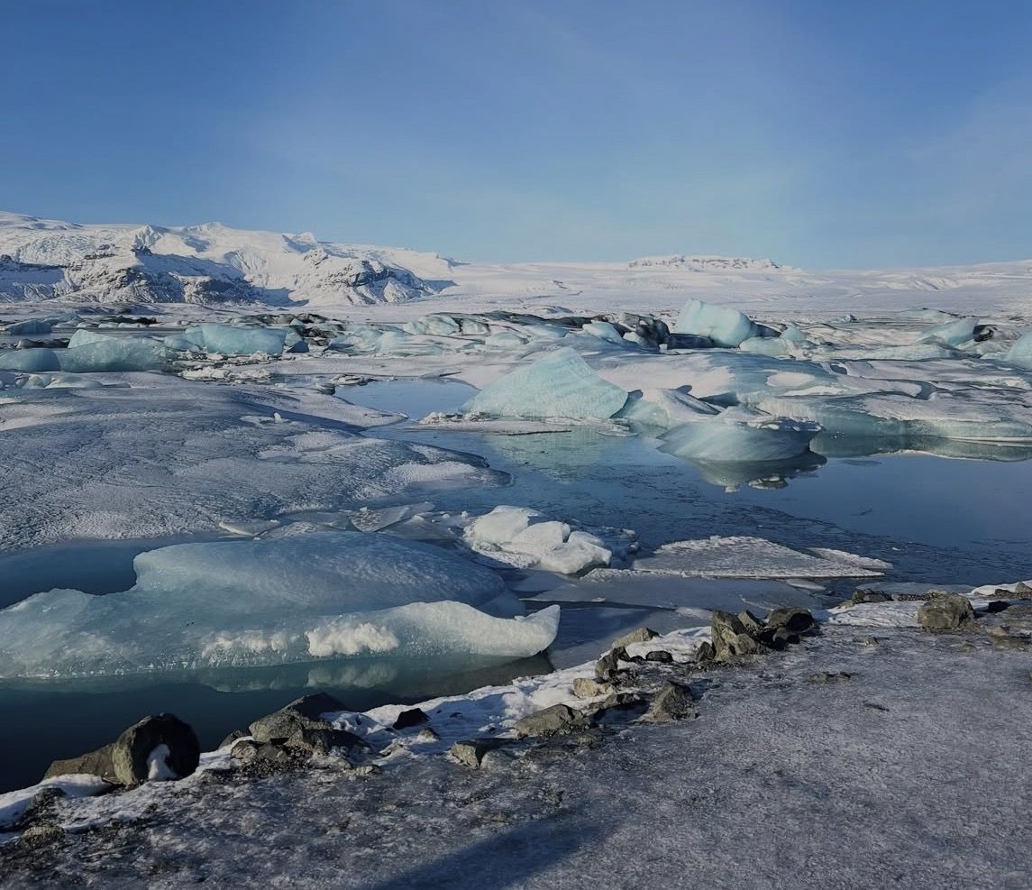
The ice breaks off Breiðamerkurjökull, drifts across the lagoon and leaves through the river channel; the sea then pushes some of it back onto the beach. How much lies on the sand changes from day to day, so one visit may show a beach full of ice and the next only a few pieces.
The short river that feeds the beach
All the ice on Diamond Beach leaves the lagoon through Jökulsá, one of the shortest rivers in Iceland: about 500 m today, against roughly 1,500 m in 1989, because the lagoon keeps growing towards the sea. It still carries a lot of water, on average 250–300 cubic metres a second, which is how the icebergs are carried under the bridge and out to sea.
The concrete Ring Road bridge over the river, about 90 m long, dates from 1967; before it, travellers crossed by glacier routes or on a ferry that had run since 1932. Stone barriers around the bridge piers keep the coast from eroding them and steer icebergs away from the pillars.
| Figure |
|---|
| River length today | about 500 m |
|---|
| River length in 1989 | about 1,500 m |
|---|
| Average flow | 250–300 m³ per second |
|---|
| Bridge | concrete, about 90 m, built 1967 |
|---|
| Coastal erosion 1904–2003 | about 770 m, roughly 8 m a year |
|---|
A coast that is moving
The sea has eaten into Breiðamerkursandur for a century: between 1904 and 2003 the shore near the bridge retreated by about 770 m. Researchers note that, over time, erosion could break through the spits and connect the lagoon directly with the sea. For a visitor it is one more reason to treat the waterline with respect: this is an active, changing coast.
Stay safe on the beach
- Waves on this open Atlantic coast can run much further up the sand than the others, without warning. Keep well back from the water's edge and never turn your back on the sea.
- Do not climb on the ice blocks: they melt, shift and can roll, and in the shallows they can float off.
- Keep children close to you and away from the waterline.
Light and timing
The low sun in the early morning and the evening lights the ice from the side, and there are fewer people then. In winter that window is short; the winter page lists sunrise and sunset by month.
Daylight hours in winter →
Birds on Breiðamerkursandur
The plain around the beach is an important nesting area for great skuas, red-throated divers, greylag geese and barnacle geese. In the nesting season keep to the marked routes.
Which side of the river to choose
| West side (from the lagoon car park) | East side (Eystri-Fellsfjara) |
|---|
| Getting there | walk through the passage under the bridge | its own car park beside the road |
|---|
| Marked route | — | B2: 1 km, about 40 minutes, easy |
|---|
| Extras | the lagoon and the boats on the other side | photo exhibition at the car park |
|---|
| Parking | the lagoon car park and its fee | the park's regional fee applies |
|---|
How long to stay
The day tours that stop here allow about half an hour, which is enough to walk the shore and photograph the ice. Walking route B2 end to end takes about 40 minutes.
Diamond Beach in winter
The beach is open all year. In December the sun climbs only about 2.5° above the horizon at noon, so the ice is lit from the side through the short day; time your stop for the middle of the day and watch your footing on frozen sand.
Light and photography →
Questions about Diamond Beach
Is Diamond Beach free?
Yes, there is no entry fee. The national park charges for parking, as at the lagoon.
Is there always ice on the beach?
No. How much ice lies on the sand depends on what the lagoon releases and what the sea brings back, and it changes from day to day.
Can I walk from the lagoon to the beach?
Yes. Use the pedestrian passage under the Ring Road bridge, which has information signs about the area.
Is it safe to stand on the ice blocks?
No. They melt, shift and can roll, and in the shallows they can float off. Keep well back from the waterline as well.
Why do icebergs end up on the beach?
They break off the glacier, cross the lagoon and leave through the short Jökulsá river under the bridge; the sea then washes some of them back onto the sand.
Names, route B2, car parks, the passage under the bridge and the nesting birds from Vatnajökull National Park (vatnajokulsthjodgardur.is); parking fee from the park's price list. 4 October 2026.
Also at the lagoon